
READING THE LANDSCAPE: FROM FARMLAND EDGE TO ECOLOGICAL CORRIDOR
- R S
- Apr 15
- 2 min read

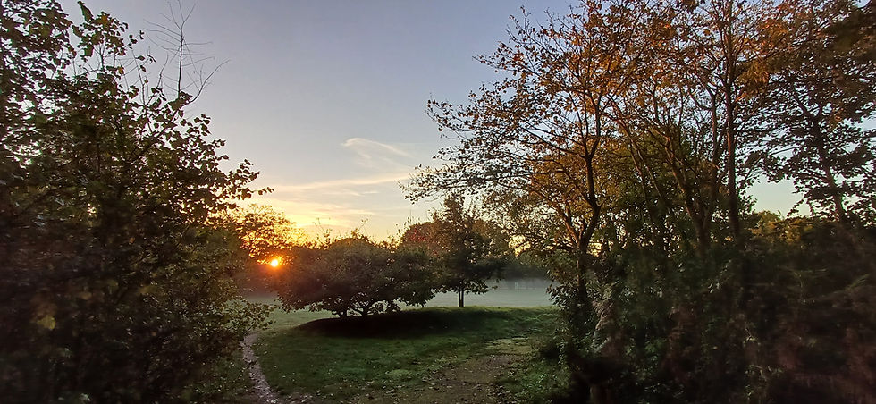
Understanding a site begins with carefully reading its landscape structure and ecological composition. The aerial section illustrated here captures a transitional landscape typical of many rural sites across Suffolk and the wider UK—where managed farmland gives way to increasingly diverse semi-natural habitats.
At the western edge, the landscape is defined by a small rural settlement and a pattern of enclosed agricultural fields. These areas are typically classified under the UK Habitat Classification (UKHab) as arable and horticultural land or improved grassland, reflecting intensive management and generally lower biodiversity value. However, even here, features such as native hedgerows play a critical ecological role, providing habitat connectivity and supporting birds, bats, and invertebrates.
Moving eastwards, the landscape becomes more varied and ecologically valuable. Managed fields transition into semi-improved grassland, mixed scrub, and scattered broadleaved woodland, all of which are recognised within UKHab as habitats of increasing distinctiveness. These areas often represent natural regeneration processes and can support a wide range of species.
At the eastern extent, a meandering watercourse forms a riparian corridor, likely classified as river and bankside habitat under UKHab. This feature is particularly important, functioning as both a biodiversity hotspot and a key ecological network, facilitating species movement across the landscape.
From a landscape perspective, this sequence reflects a clear gradient:
Highly managed agricultural land
Transitional mosaic habitats
Semi-natural, higher-value ecological corridor
This gradation is fundamental to both Landscape and Visual Impact Assessment (LVIA) and Biodiversity Net Gain (BNG) strategies. While the agricultural land may present opportunities for enhancement, the semi-natural habitats and watercourse are typically more sensitive to change and require careful protection and integration within any development proposals.
By applying the UKHab system alongside landscape character analysis, it becomes possible to clearly define habitat types, assess their condition and value, and identify opportunities to strengthen ecological networks—ensuring that future development responds positively to its landscape context.


Comments